 NOAA
NOAA
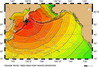
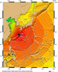
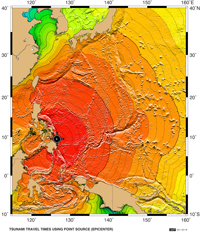
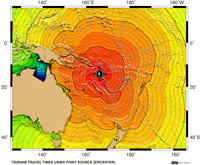
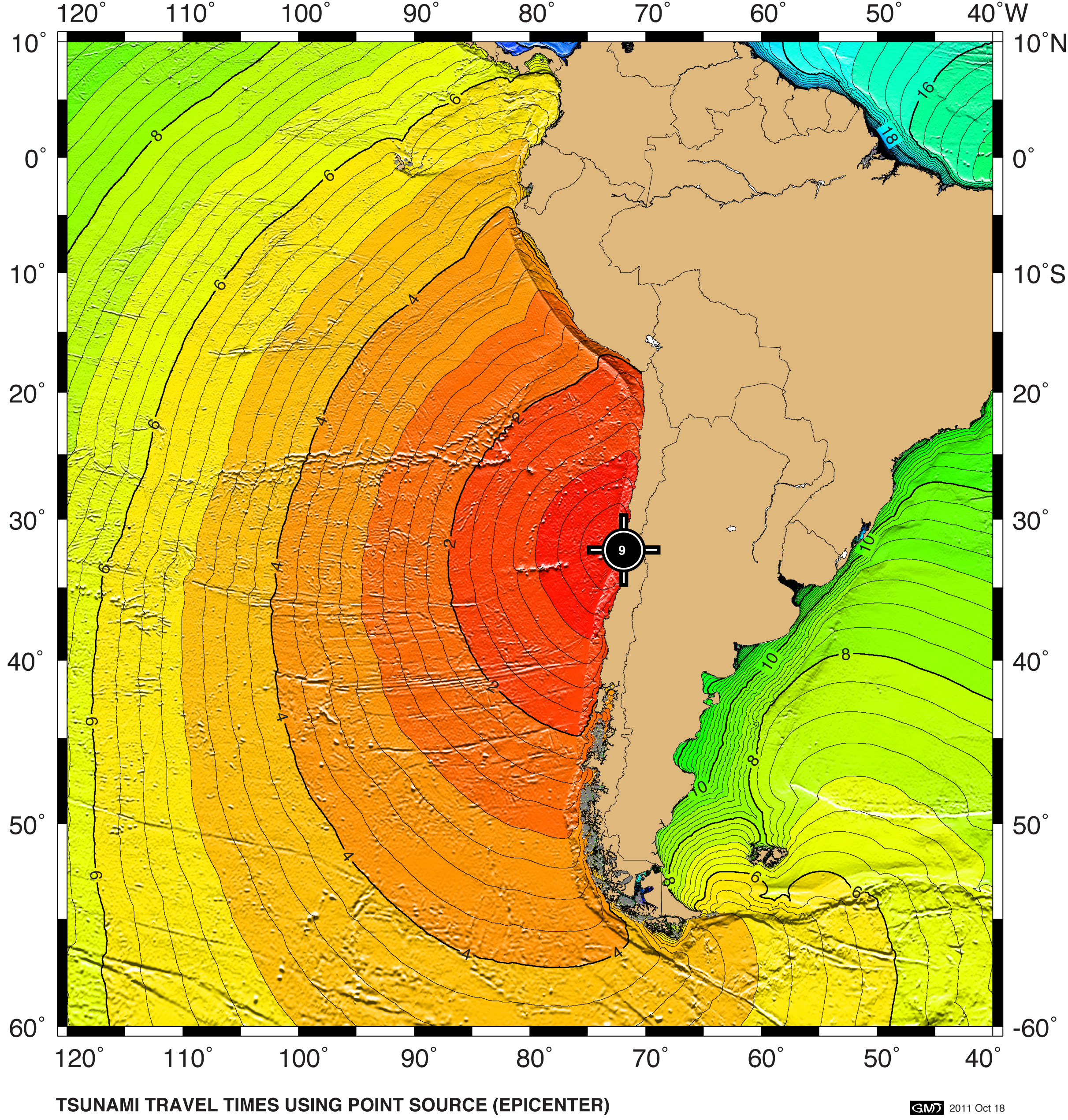
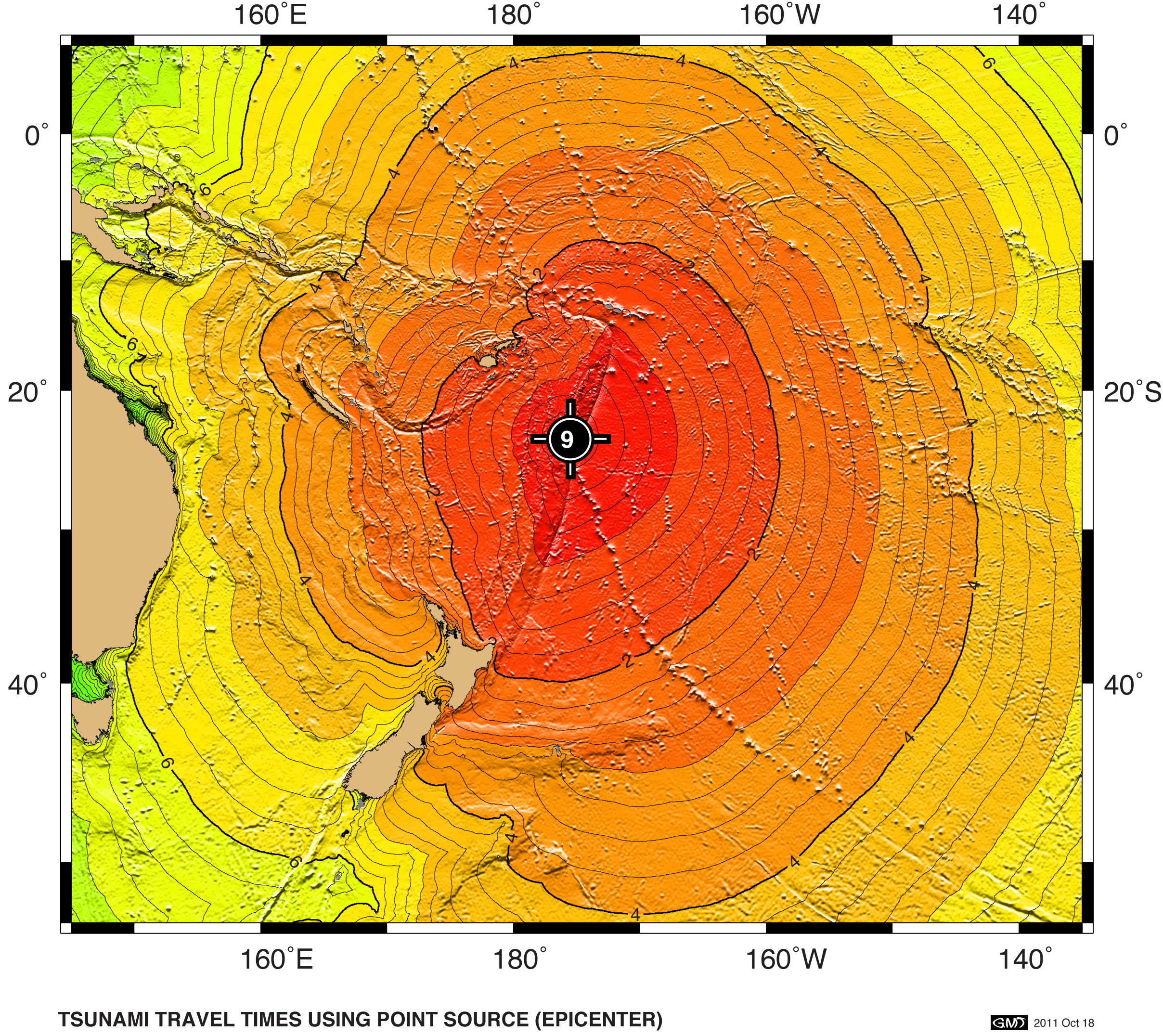
Tsunami Travel Time Maps
Tsunami Travel Time Maps for Exercise Pacific Wave 11 scenarios.
Travel times are calculated using a point source corresponding to the earthquake epicenter.
Click here for summary listing of the PacWave11, PacWave13, PacWave15, PacWave16, and PacWave17 earthquake hypocenters.
The software (TTT SDK, Geoware) is used by the NOAA Pacific Tsunami Warning Center, and is available to tsunami warning centers and responsible national tsunami agencies from ITIC/NGDC.
|
|
|
|
|
|
|
|
|
|
|
|
|
|
|

![]()

Quick Links
![]()
![]()
![]()
Resources


Tsunami Awareness Poster
Available in English, Spanish, Chinese, French, Japanese, Korean, Portuguese, Singalese.

Global & Regional Hazard Maps
Tsunami Sources, Significant Earthquakes, Significant Volcanic Eruptions, Tsunami Icosohedron Globe.


TsunamiTeacher USA
Tsunami Basics
Also on YouTube
(w/closed captioning)
Learn the basics of tsunamis. Available in English, Samoan.